Tune-in to nature and explore some of the best parks near Port Alberni
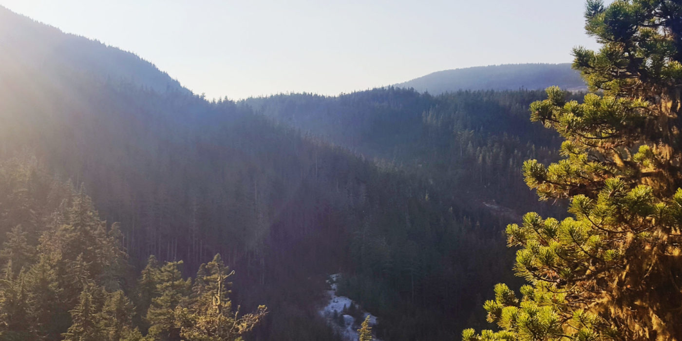
Port Alberni and Sproat lake boast some of the best parks and hiking trails on Vancouver Island. We can help you plan your trip, get you supplied with snacks and food for the day and get you started off on the right foot. Of course, we will be here to pamper you on return from your latest adventure as well.
Cathedral Grove
Cathedral Grove, situated within MacMillan Provincial Park on Vancouver Island, Canada, to the east of Port Alberni, BC, is a pristine wilderness expanse spanning 157 hectares. This sanctuary was established with the aim of safeguarding the ancient forests thriving in the Coastal Douglas Fir Biogeoclimatic Zone.
Venturing into Cathedral Grove offers an unparalleled chance for visitors to marvel at some of the most colossal trees not only in British Columbia but potentially throughout Canada. Within the embrace of MacMillan Park, these majestic arboreal giants, predominantly of the Douglas Fir and Red Cedar species, command attention. Remarkably, there are arboreal elders gracing the park’s landscape that have surpassed the impressive age of 800 years. An exemplar of this venerable majesty is a Douglas Fir tree that boasts a staggering diameter of over 9 meters.
Traversing the park reveals a network of concise hiking trails, embellished with informative signage, comfortable benches, and strategic viewpoints. The trails encompass an amalgamation of earthy pathways and well-constructed boardwalks, many adorned with supportive handrails. A notable feature is their accessibility, catering to individuals with wheelchairs and parents pushing baby strollers alike.
The park’s access point can be found along the main thoroughfare, Highway #4, linking Port Alberni, BC. A dedicated parking area lies adjacent to the highway, accompanied by informative signposts and a trailhead that beckons you into the enchanting woodland.
Restroom facilities are conveniently available on-site, ensuring comfort for visitors. It’s important to note that pets are required to be leashed at all times while within the park’s premises.
Cameron Lake
Cameron Lake boasts a stunning expanse of sandy beach, inviting enthusiasts to indulge in a range of delightful activities such as swimming, picnicking, kayaking, canoeing, fishing, and windsurfing. This well-frequented recreational oasis is conveniently positioned approximately 14 kilometers to the east of Port Alberni, BC, and to the west of Qualicum Beach, accessible via Highway 14.
An intriguing facet worth noting is that the southern shoreline of Cameron Lake seamlessly integrates into the picturesque landscape of Little Qualicum Falls Provincial Park. Additionally, of interest is the close proximity of Mount Arrowsmith, majestically rising just to the south of the lake, adding to the allure of this scenic locale.
The perfect place to spend the day with friends and family and just a short drive from Sproat Lake.
Sproat Lake Provincial Park
Sproat Lake, a sought-after recreational haven, graces the western reaches of Port Alberni, BC, on the captivating Vancouver Island, Canada. Its convenient accessibility has rendered it a highly popular destination during the summer months, attracting enthusiasts eager to engage in a myriad of aquatic activities such as swimming, fishing, kayaking, canoeing, wind surfing, and water skiing.
Spanning 43 hectares, this idyllic park finds itself enveloped by an array of distinctive waterfront homes and resorts, many featuring private piers and boats. It is imperative to exhibit respect for their proprietors by refraining from accessing private piers.
Exploring the park’s well-laid hiking trails offers a delightful opportunity to immerse oneself in the splendor of the lake’s surroundings and revel in picturesque vistas. Some of these trails have been designed to accommodate wheelchairs and baby strollers, enhancing accessibility for all.
A captivating trail located along the eastern fringe of Sproat Lake leads adventurers beneath the verdant canopy of Douglas Fir and Western Red Cedar trees before culminating at the K’ak’awin Petroglyphs. These ancient First Nation depictions are rumored to illustrate creatures that once inhabited the depths of the lake, adding an air of mystique to the experience.
Within the expanse of Sproat Lake Provincial Park, three distinct picnic sites are strategically positioned, each equipped with fire pits, ample grassy spaces, pit toilets, and two flush toilet facilities—one adjacent to the boat launch and the other near the lower campground. Nestled along the lakeshore, a sandy beach and verdant grassy area provide a serene retreat.
The park accommodates both a lower and upper campground, both of which offer the convenience of running water taps, invigorating hot showers, and a dedicated boat launch. However, it’s important to note that amenities such as a sani-station, playground, or electrical hook-ups are not available within this park’s confines.
Mount Arrowsmith Regional Park
Nestled to the east of the Port Alberni community on Vancouver Island, Canada, Mount Arrowsmith beckons as a year-round haven for wilderness recreation. Rising to a lofty height of 1,819 meters, it claims the title of the tallest peak gracing the southern reaches of Vancouver Island.
The sprawling backcountry roads and recreational trails that traverse Mount Arrowsmith serve as a popular playground for a diverse range of activities. As the sun warms the summer months, the trails come alive with mountain bikers, hikers, and horseback riders, seeking to embrace the mountain’s beauty. Come winter, when the landscape is blanketed in snow, the very same gravel roads and trails transform into meandering routes for intrepid backcountry skiers and snowshoeing enthusiasts.
A crowning jewel of the mountain’s offerings, the Mount Arrowsmith Trail beckons with allure. A challenging but rewarding day-long hike culminates in the breathtaking panorama from the peak, offering stunning vistas in every direction. This hiking route spans approximately 3.5 kilometers one way, ascending a total of 1,000 meters in elevation. To embark on a round-trip journey to the peak and back (7 kilometers), one can anticipate spending anywhere from 4 to 6 hours on the trail, contingent upon individual fitness levels.
While the trail is categorized as intermediate, it presents moments of difficulty, characterized by steep sections and occasional uneven terrain. The trail is thoughtfully marked with flags and tree indicators, though these markers can at times be intermittent. Hikers should be prepared for steep stretches, uneven surfaces, and the potential for slippery conditions. Vigilance is recommended, particularly for exposed tree roots and loose rocks. Additionally, all adventurers are advised to equip themselves for the mountain’s capricious elements, which encompass winds, fluctuating temperatures, and unpredictable weather patterns.
Reaching the pinnacle of Mount Arrowsmith rewards hikers with more than just breathtaking views; a radio tower and Hiker Registry await, inviting trekkers to leave their mark and capture their accomplishment. The summit treats visitors to unparalleled vistas, offering a sweeping 360-degree panorama on clear days. Stretching across the horizon are sights encompassing the entire Alberni Valley, portions of the Coast Mountains, and glimpses of the Pacific Ocean.
For those eager to embark on the journey to Mount Arrowsmith, the path begins in the community of Port Alberni, accessed via Highway #4. Approximately 9 kilometers east of Port Alberni, just before descending into town, a gravel dirt road, distinguished by a backcountry Arrowsmith ski sign, invites exploration. Following this path for 3 kilometers, one arrives at Cameron River Main Forestry Road. From there, following the markers for another 3 kilometers leads to the trailhead parking lot. It is prudent to note that the gravel roads may pose challenges for certain types of vehicles.
Della Falls
Della Falls presents an intrepid and secluded wilderness escapade, ideally suited for experienced outdoor enthusiasts, canoeists, and backpackers seeking a remarkable undertaking. Situated to the west of Port Alberni, BC, on the enchanting Vancouver Island, Canada, this venture weaves an epic narrative that involves canoeing across the vast expanse of Great Central Lake and subsequently embarking on a backpacking odyssey to behold the awe-inspiring Della Falls—Canada’s loftiest waterfall, plunging an astonishing 440 meters (1443 feet) in height.
The Della Falls expedition stands as a formidable challenge, not recommended for novices. The one-way journey entails traversing a 45-kilometer-long body of water, aptly named Great Central Lake, via canoe. This aquatic leg is then followed by a 16-kilometer-long wilderness trail, demanding arduous backpacking efforts. The entire excursion unfolds over a period spanning 4 to 8 days. Originally fashioned as an old trapper’s path by Joe Drinkwater, the route’s namesake, this adventure route bears a historical resonance, with Della Falls itself christened in honor of his wife.
Great Central Lake, though serene in appearance, reveals a distinct character to intrepid paddlers. Encircled by towering mountain ridges, the lake can transform into a wind tunnel, causing sudden gusts that churn up rough waters and unpredictable crosswinds. The canoeing portion of the expedition necessitates 8 to 14 hours to traverse, contingent upon one’s physical condition. Staying close to the shoreline proves prudent to evade the capricious winds.
For those disinclined to undertake the challenging paddle across Great Central Lake, charter boat services and water taxis offer an alternative, shuttling adventurers and their backpacking gear to the trailhead of the Della Falls Trail. It is paramount to meticulously prearrange and coordinate transportation arrangements well before arrival, as spontaneous arrivals could result in days of waiting.
The commencement of the Della Falls Trailhead lies nestled at the southeastern extremity of Great Central Lake. Here, a rudimentary wooden dock offers mooring space, while a discreet canoe rack concealed within the surrounding trees provides overnight storage. The trailhead also features designated tent pads for camping, food storage options, informative trail maps, and pit toilets.
The journey embarks along the trail, with the first significant landmark emerging at Margaret Creek, approximately 7 kilometers from the outset. The subsequent 3.5 kilometers leads adventurers through a forested expanse, before delving into a captivating gorge and traversing the Drinkwater River.
Beyond this juncture, the trail progressively escalates in complexity. The terrain becomes more demanding around the 12-kilometer mark, where hikers commence an ascent that culminates in the exploration of a rockslide. This challenging segment eventually connects with the Love Lake Trail, situated at the 15-kilometer mark. Over the ensuing 4 kilometers, the Love Lake Trail ascends into alpine terrain, affording panoramic views of the falls, making for an enticing day trip option.
Pressing forward on the Della Falls Trail, the forest canopy yields to a vast valley punctuated by avalanche paths. This dramatic landscape leads to the base camp for Della Falls, where a wilderness campground resides in proximity to Drinkwater Creek, roughly 850 meters from the cascades. This campsite serves as a hub for soaking in the captivating surroundings. Nearby, a network of rugged trails presents opportunities to explore the falls or retrace one’s steps and journey along the Love Lake Trail.
These are all amazing parks and trails to visit. Make sure to stop off at the front desk for directions, Dellas to fill your bags with snacks and lunch and discuss the days adventures on the patio at Drinkwaters Lounge over dinner and drinks. Then climb into your cozy king-sized bed at the end of the night to rest up for the next days exploration.
If you would like some help planning your next excursion, please come see us at the front desk or send us an email today so we can help you get underway.